Saturday 6 June 2009, by Wolf
This running trail reunites in fact three different running routes : the MacRitchie reservoir, the trails in Bukit Timah Nature Reserve and the Bukit Batok Nature Reserve.
This is to get a more lengthy trail of around 15km, without doing loops and while staying most of the time in the jungle. A marathon preparation trail of 26km can be obtained when adding another loop around the MacRitchie reservoir.
How to get there:
By public transport: When starting from MacRitchie, the nearest MRT station is Bishan, from there you have to take a bus. Another possibility is taking a bus (number 162?) from Newton MRT.
By car: Just head for the MacRitchie reservoir at Upper Thomson Road. There is a free parking lot just at the entrance.
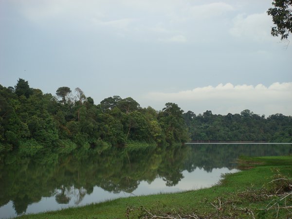
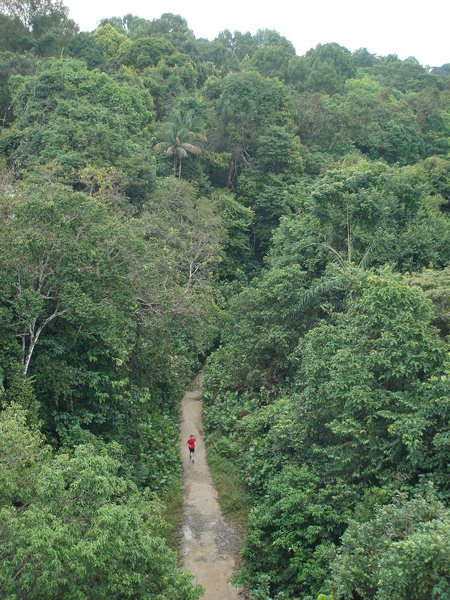
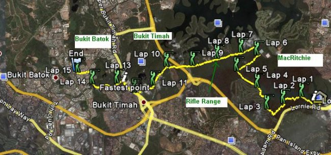
The track: Start at MacRitchie at the ZigZag bridge, near the parking lot and reservoir entrance. There are two paths around the reservoir, and both can be taken. The Northern trail is shorter and goes through a jungle path which is not quite flat. The Southern trail as seen on the map goes along a boardwalk, then crosses a golf-course and finally also goes into the jungle. It is longer, much more scenic and easier to run. Expect to find some monkeys on the way!
Taking the Southern trail, run along the boardwalk and the golf-course until you enter the jungle-trail. Pass the Jelatong tower and turn right on the crossroad just after having passed it. Continue until the ranger station where is the first waterpoint, after roughly 6km. Then continue towards the "HSBC tree top walk" on an asphalted road, but turn left on a broad path as soon as you can.
Continue running straight for a long distance. Cross a small watercourse and then keep running with a military area & fence on your right. This portion is quite steep at times; and slippery after the rain. Continue straight when you hit the Rifle Range road : an asphalted road virtually unused by cars. Cross the bridge over the BKE highway and turn right (watch out for it!) on a narrow path just after another military building. Here is where you join the Bukit Timah trail. Keep running away from the Rifle Range road until you hit the mountain bike trail. Here again you can choose to turn left or right to complete the bike trail loop. The left trail is slightly shorter. At the Bukit Timah reserve entrance, there is another water point.
From there, leave the jungle on the Hindhede drive and turn right on the Upper Bukit Timah road until you reach the Bukit Batok Nature reserve on the other side of the road. Here you can do a final loop and end your 15km run.

Water point: At the two ranger stations on the way.
Good to know: Early in the morning, on Sunday, the MacRitchie runners club will start the training at the same time with you. They meet at 7 at the parking lot near the departure point.
Google Maps: The running trail area on Google Maps.
Double-click the KML to display the track in Google Earth.
